
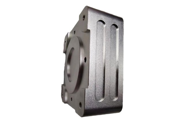
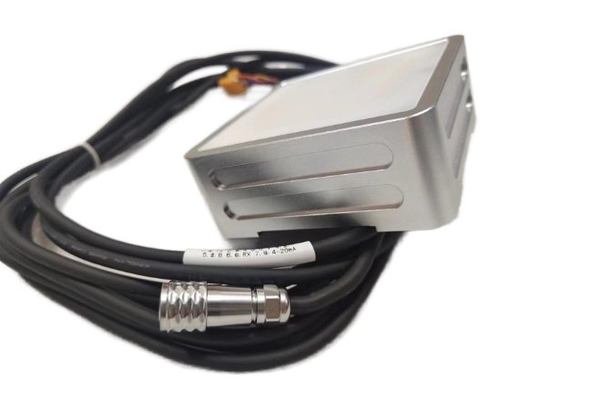
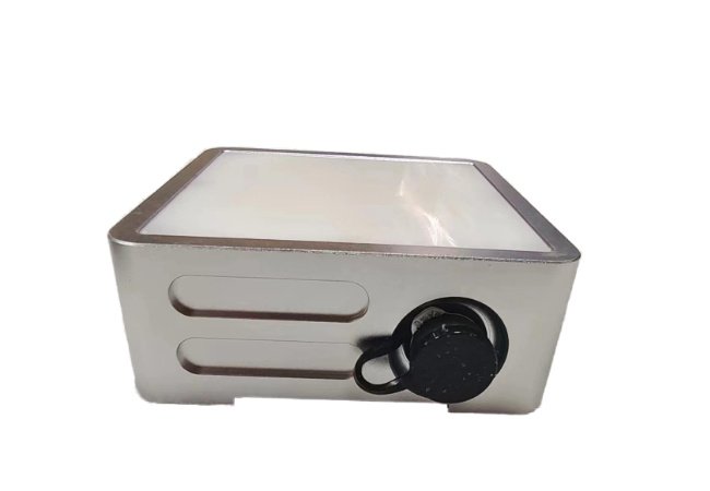
The BT7310 is a compact, ultra-cost-effective non-contact 24GHz FMCW radar water level gauge designed for continuous 24/7 hydrological monitoring. Featuring a 40m measuring range, cm-level accuracy, ultra-low-power sleep mode (≤1 mA@12V), and IP67 waterproof protection, it provides stable level data unaffected by temperature, climate, or water pollutants.
Click here to download the datasheet.
Ⅰ.General Introduction
BT7310 Radar Water Level Gauge is a non-contact water (material) level detection device independently developed by BESTEETECH, which can be used to monitor the water level of rivers, lakes, and reservoirs and can help with water treatment operations.
This Radar Water Level Gauge works in the 24GHz ISM frequency band and adopts FMCW modulation. It can detect water level information in real time, 24/7, and is not affected by climate, temperature, water vapor, and water pollutants. The product is equipped with efficient data processing algorithms to ensure the accuracy of product measurement results.
BT7310 provides 3 standard physical circuit interfaces: RS232, RS485 (default), and 4-20mA.
Ⅱ. Key Features & Benefits
- 24GHz FMCW Radar Technology:
- Operates in the 24GHz ISM band with continuous wave frequency modulation, offering strong anti-interference performance against vapor, rain, and temperature fluctuations.
- 40m Long Range & High Precision:
- Measures water levels from 1.5m up to 40 meters with accuracy and 4mm resolution.
- Ultra-Low Power Consumption:
- Integrates an energy-saving sleep mode (≤1 mA@12V), making it ideal for solar-powered or battery-operated remote field stations.
- Flexible Interfaces & Protocols:
- Features standard RS485 (default), RS232, and 4-20mA current loop outputs with support for MODBUS and ASCII protocols.
- Compact & Rugged IP67 Design:
- Small footprint, POM front cover, and aluminum alloy enclosure built for harsh outdoor environments.
Ⅲ. Technical parameters
| Main performance specification | |
| Measurement Range | 1.5 ~ 40m |
| Measurement Accuracy | ≤±1cm |
| Resolution | 4mm |
| Measurement Time | 300 ~ 20000ms |
| Measurement Interval | 0~30000s |
| Data Format | 9600, N, 8,1 |
| Communication Interface | RS-485/ RS-232 / 4-20mA Current Loop |
| Communication Protocol | Custom ASCII/MODBUS |
| Antenna Type | Planar microstrip array antenna 11°×11 ° |
| Transmission Frequency | 24.005 ~ 24.245GHz |
| Working Voltage | +7~28V DC |
| Working Current | Working Current under Working Mode ≤ 150mA@12V
Working Current under Low-Consumption (Sleep) Mode≤ 1mA@12V |
| Working Temperature | -40 ~70℃ |
| Protective Grade | IP67 |
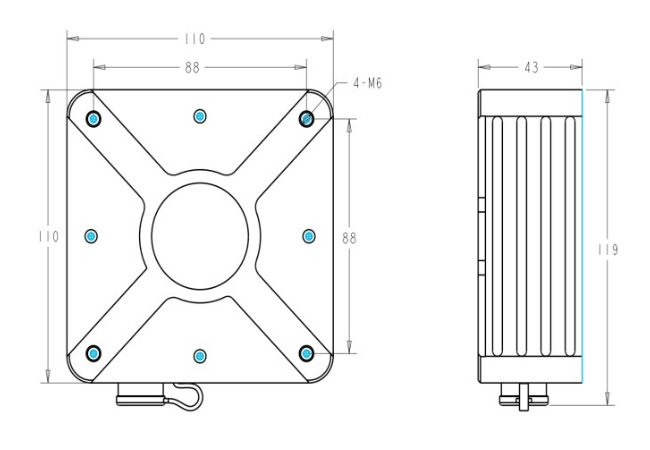
| Size(l×w×h) | 110×110×43 (mm) |
| Housing Material | Front cover: POM(white), rear cover: aluminum alloy (silver) |
Ⅳ. Parameters
Dimensional structure(mm)
Ⅴ. Typical Industry Applications
Hydrological Survey & Monitoring:
Real-time water level tracking for rivers, lakes, reservoirs, and natural streams.
Irrigation & Channel Control:
Automated water level sensing in open canals, irrigation networks, and sluice gates.
Flood Control & Urban Waterlogging:
Early flood warning systems for mountain flash floods, river overflows, and city drainage hubs.
Water Treatment & Environmental Safety:
Non-contact level measurement for sewage treatment plants and water utility operations.